Download sangseek travel map around the world
Highly recommended as it connects to Google Maps navigation!


Highly recommended as it connects to Google Maps navigation!
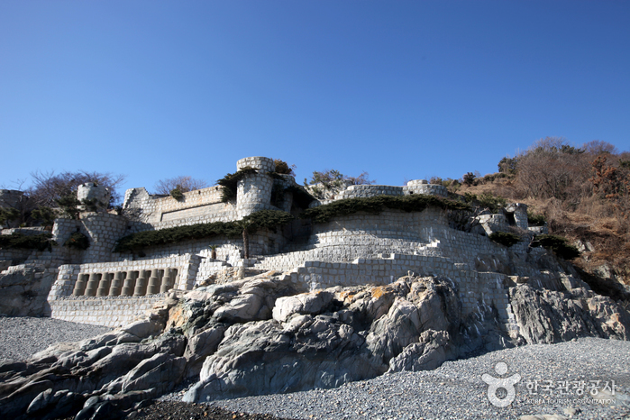
Jinjuseong Fortress (진주성)
Update date: 2021-05-07
Description
[tourist site]
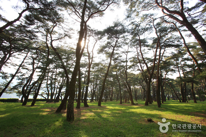
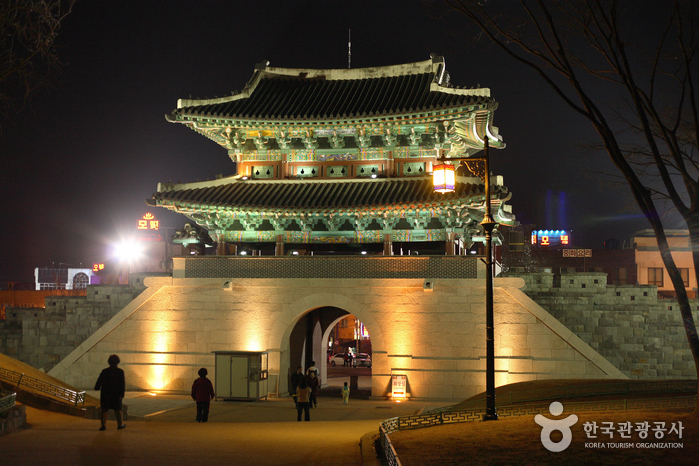
Jinjuseong Fortress, which is historically linked to the Imjin War (1592-1598), was originally named Geoyeolseong Fortress during the Three Kingdom Period, later renamed as Chokseokseong Fortress in the Goryeo dynasty and finally settled as Jinjuseong Fortress in the Joseon dynasty. The reinforced stonewall has a circumference of approximately 1,760 meters, 5-8 meters in x_height and contains three wells and springs. According to Ha Ryun’s Seongmungi in Donggukyeojiseungnam Record, the fortress was frequently destroyed during invasions and was reinforced by Jinju’s minister, Kim Jung-gwang during the fifth year of Goryeo Woo King’s reign (1379). During this period, the circumference was 800 bo(pace), with Uijeongmun Gate to the east, Jijemun Gate to the north, and Yehwamun Gate to the south. Outside the castle, Cheongcheon River flows in the west, Namgang River in the south and a pond lies between the castle and the trench dug during the war times. As a fortress to safeguard from attacks, it blocked enemies from advancing toward Honam during the 25th year of Joseon Seonjo King’s reign (1592). Within the fortress lies Chokseoknu, Kim Shi-min Memorial, Uigisa Shrine, Seojangdae, Bukjangdae, Changyeolsa shrine, Jinju National Museum, Hoguksa Temple, and an outdoor stage.
Information
Address: 626, Namgang-ro, Jinju-si, Gyeongsangnam-do (52692)
www.jinju.go.kr (Korean, English, Japanese, Chinese, Indonesian, Vietnamese, Hindi, Turkic)
Telephone: +82-55-749-5170
data provided by Korea Tourism Organization
More Places