Download sangseek travel map around the world
Highly recommended as it connects to Google Maps navigation!


Highly recommended as it connects to Google Maps navigation!
Udo Island - Udo Maritime Park (우도(해양도립공원))
Update date: 2021-08-11
Description
[tourist site]
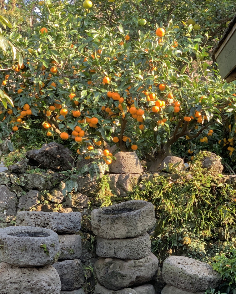
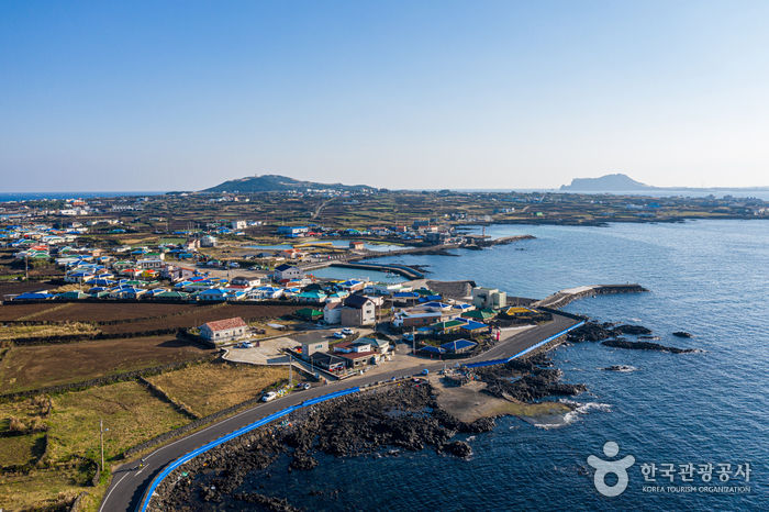
Situated 3.8 kilometers off the northeast coast of Jeju Island, Udo Island was named because it resembles a lying cow. The length of the island is 3.8 kilometers and the circumference is 17 kilometers. People have lived in Udo Island since the Joseon period, with most living as a farmer or working in the fishing industry. The island boasts fertile soil, abundant schools of fish, and scenic sights; local heritages (female divers, stone walls, and stone tombs) as well as natural attractions abound on the island, making it a miniature of Jeju Island. The island is also full of amenities and tourism outlets: fishing, bike trails, sand massages, submarine tours and cruises. At the highest point of the island, Udobong Peak (alt. 132 meters), visitors can see a panoramic view of the island as well as Seongsan Ilchulbong Tuff Cone and the main island. Rhodolith Beach (a white beach designated Natural Monument) has appeared regularly in films and TV commercials thanks to its breathtaking white sand and emerald sea. The sea around the beach showcases different colors depending on the water level. This makes Rhodolith Beach one of the most popular tourist attractions in Jeju-do, along with Hallasan Mountain. To protect the exquisite nature and promote maritime tourism, Bukjeju County designated two ports on the island (Udo Port and Haumokdong Port) and the sea surrounding it (25,863 ㎢) as Udo Maritime Park in January 2001. Visitors can appreciate maritime tourism at its best including a trip under the sea by submarine.
Information
Address: 153, Udo-ro, Jeju-si, Jeju-do (63365)
Telephone: +82-64-740-6000
data provided by Korea Tourism Organization
More Places